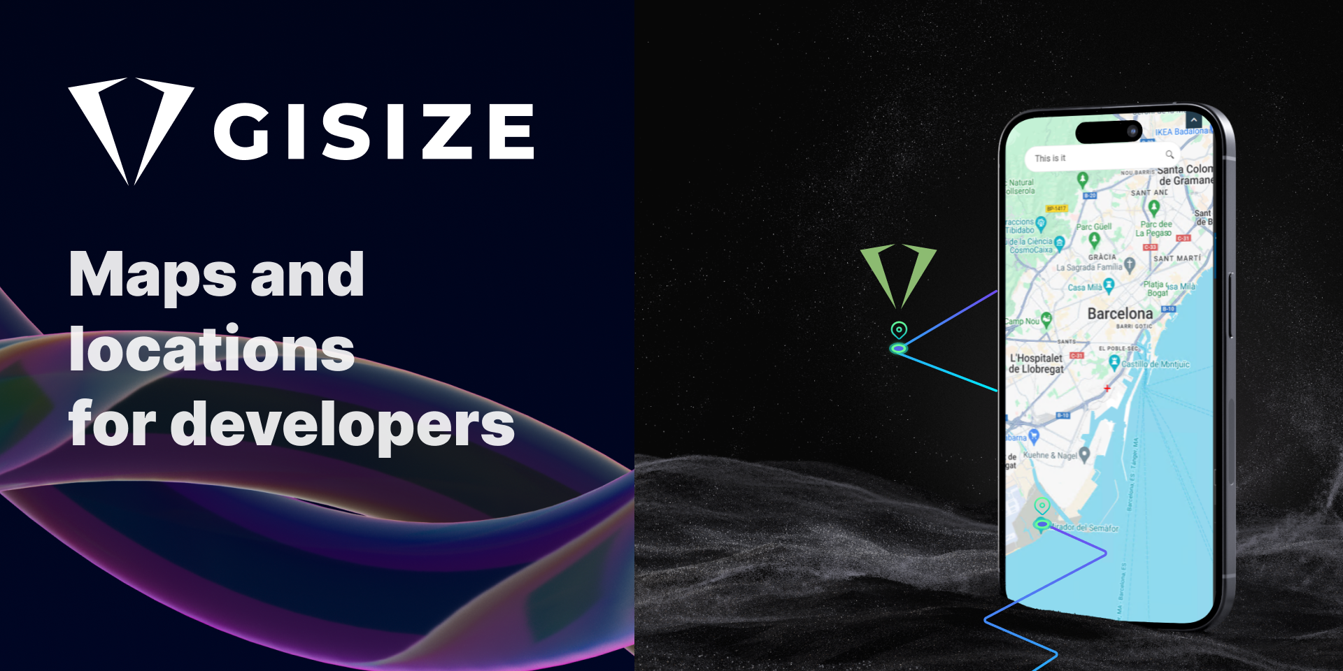
GiSize Maps - Industrial GIS Platform
Revolutionary GIS platform integrating industrial automation with interactive mapping, enabling real-time asset visualization and management across smart city infrastructures.
Project Overview
The Challenge
Traditional industrial automation systems operated in isolation from geographical information systems, creating significant barriers for real-time asset management and monitoring. The existing OMI-based platform limited accessibility and required extensive desktop infrastructure.
Technical Innovation
GiSize Maps represents a paradigm shift in industrial GIS integration, combining the power of modern web technologies with robust industrial automation protocols. The platform leverages advanced mapping libraries and real-time data streams to create an unprecedented level of industrial asset visibility.
Architecture Overview
The platform is built on a microservices architecture that seamlessly integrates with existing AVEVA infrastructure while providing modern web accessibility. Key technical achievements include:
- Real-time Data Streaming: Implementation of WebSocket connections for live asset updates
- Multi-Provider Integration: Seamless integration with Mapbox, ArcGIS, and custom WMS/WFS services
- Responsive Design: Mobile-first approach ensuring functionality across all device types
- Performance Optimization: Advanced caching and lazy loading for handling large-scale industrial datasets
Implementation Details
The development process involved close collaboration with industrial engineers and GIS specialists to ensure the platform met the demanding requirements of critical infrastructure management.
Key Technical Decisions
- Framework Selection: Chose vanilla JavaScript with Leaflet for maximum performance and flexibility
- Data Management: Implemented efficient data structures for handling real-time updates from thousands of sensors
- User Experience: Developed intuitive gesture controls and touch interfaces for field operations
- Integration Strategy: Created standardized APIs for seamless integration with existing AVEVA systems
Results and Impact
The platform has transformed how industrial operators interact with their infrastructure, providing unprecedented visibility and control capabilities. The migration to web-based accessibility has democratized access to critical industrial data while maintaining the security and reliability requirements of industrial environments.
Future Enhancements
Ongoing development includes AI-powered predictive analytics, enhanced mobile capabilities, and expanded integration with IoT sensor networks. The platform continues to evolve based on user feedback and emerging industrial automation standards.
Key Features
- Real-time asset visualization with interactive maps
- Integration with multiple GIS providers and custom map creation
- Platform migration from OMI to web-based accessibility
- Native multi-touch and gesture controls
- Highly customizable interface with design system
- ArchestrA graphics rendering within maps
My Contributions
- Platform Migration: Migrated service from OMI-only to web-accessible platform
- UI/UX Design: Created pixel-perfect responsive interface across all devices
- Documentation: Developed comprehensive web documentation and user guides
- GIS Innovation: Implemented advanced GIS techniques using Leaflet, WMS, and Mapbox
- Architecture: Designed modular and scalable system architecture
Success Stories
Barcelona Smart City
Real-time management of urban resources including elevators, escalators, public fountains, and irrigation systems for municipal parks.
Ashghal Qatar Water & Wastewater
Management of over 500,000 assets in real-time, integrated with ArcGIS/Esri platform for comprehensive infrastructure control.
Barcelona Tunnels
Advanced monitoring and control of tunnel infrastructure including lighting, traffic systems, and ventilation.
Technical Impact
- Reduced engineering time by 60% through automated GIS item creation
- Enabled real-time visualization of industrial assets across multiple platforms
- Established new standard for GIS-industrial platform integration
- Enhanced accessibility by migrating from desktop-only to web-based solution